GPR Concrete Scanning
See inside concrete before you cut, drill, or core.
A non-destructive look first.
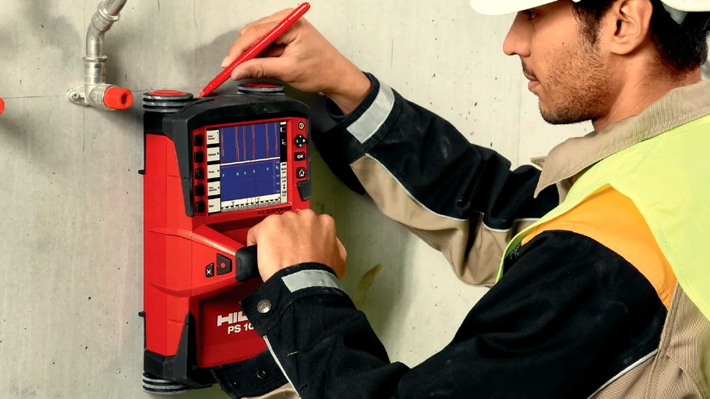
GPR concrete scanning uses ground penetrating radar to image the inside of a concrete structure non-destructively. We capture data on rebar layout, likely post-tension tendon positions, embedded conduits, voids, and slab thickness so your team can understand what the scan data indicates about embedded features within the scanned area before any work begins.
Method matters.
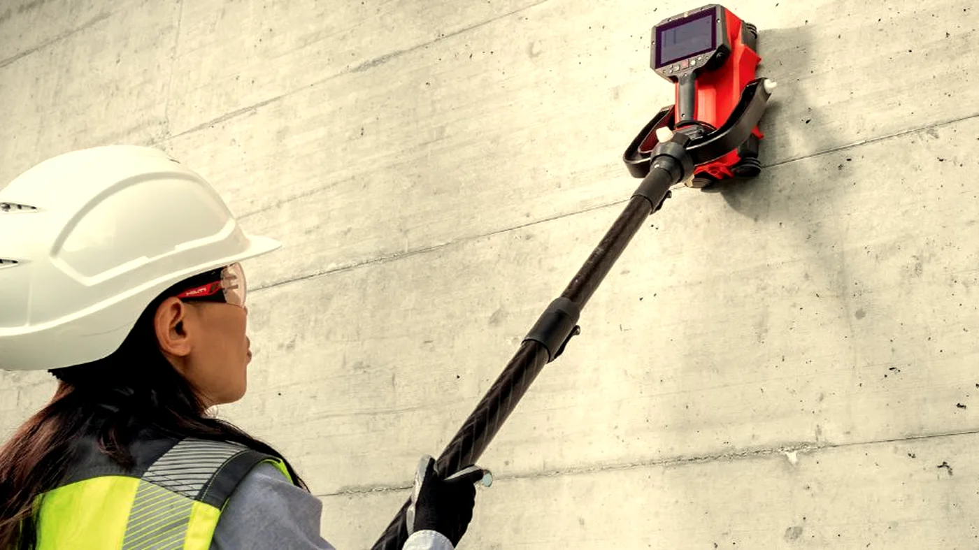
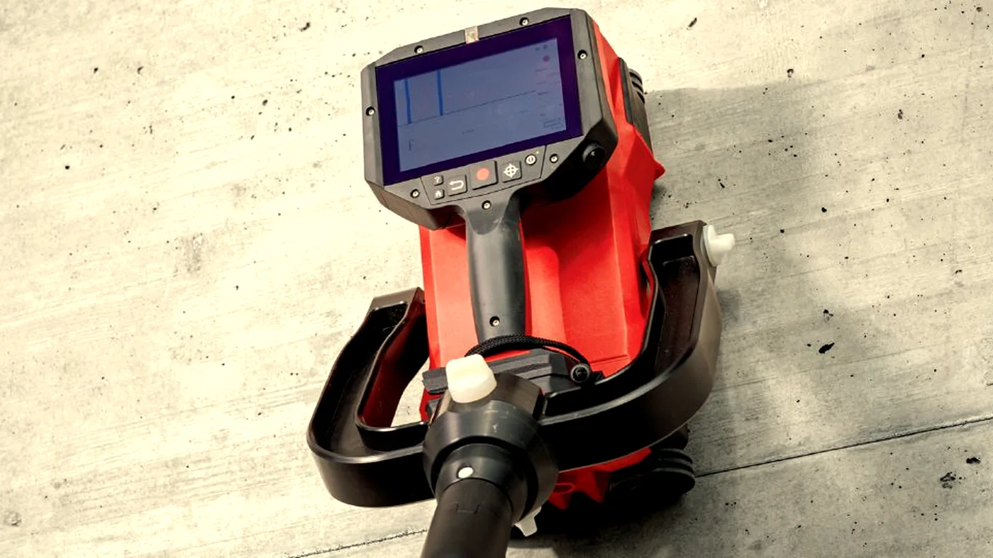
A surveyor passes a high-frequency antenna over the surface in a grid pattern. The antenna emits short electromagnetic pulses. Anything with a different dielectric to the host concrete — steel, water, voids, plastic conduit — reflects part of the signal back. Software builds a depth-indicative map of detectable reflectors and likely target positions within the scanned area. Targets are then marked up on the slab itself and supplied as a digital deliverable.
The right call at the right moment.
- 01
Before drilling, coring, cutting or fixing
- 02
Before structural alterations to slabs, walls, or columns
- 03
When post-tension cables may be present
- 04
When the original drawings are missing, incomplete, or unreliable
- 05
Before any penetration of a structural member
- 06
When a slab investigation, void survey, or as-built record is required
Deliverables built for engineers.
No buried PDFs. No mystery numbers. Every deliverable is built around the question being asked.
- On-slab marker plan in survey paint or chalk
- Annotated PDF report with depths and locations
- Digital DXF / DWG plan compatible with your CAD software
- Photographs of marked-up areas
- Surveyor sign-off and method statement
Common questions.
How long does a GPR survey take?
Half day surveys typically take 3–4 hours on site. Full day surveys allow for larger floor areas, more scan locations, or complex structures. We'll advise which is appropriate when you enquire.
When do I need to pay?
All surveys are invoiced by proforma. Full payment is required before we mobilise. We'll send the proforma invoice immediately on confirmation and works are scheduled once cleared funds are received.
How quickly will I receive the report?
Your PDF report is issued the next working day following the site visit. If you need same-day delivery, contact us to discuss.
Do your operatives have CSCS cards?
Yes. All Corvus operatives hold valid CSCS cards and carry full public liability insurance. We can provide method statements and RAMS on request.
What areas do you cover?
We cover the whole of the UK. Travel costs for sites outside London may apply — we'll confirm this when quoting.
Can you work in occupied buildings?
Yes. GPR and Ferroscan equipment is non-intrusive and silent. We regularly work in occupied offices, hospitals, and schools with minimal disruption.
What engineers say about our GPR surveys
We had a PT slab with no reliable as-builts and a drilling programme starting Monday. Corvus were on site Friday morning, markings were done before lunch, and the report was in our engineer's inbox the next working day. Exactly what we needed.
The data quality is consistently better than anything we've had from other scanning contractors. Depth-accurate, CAD-ready, and the reports are structured so we can go straight to design without chasing clarifications.
Corvus have become our default call for anything pre-drill or pre-penetration across our managed estate. Fast to respond, clean on site, and the reports hold up when we need to show our structural team exactly what was found and where.
Where gpr concrete scanning is the right tool.
Before Drilling
Locate reinforcement, post-tension cables and conduits before any drilling, coring or fixing work begins.
Learn moreStructural Assessment
Use GPR to inform structural assessment with accurate reinforcement layout and slab thickness data.
Learn morePost-Tension Cables
Identify likely post-tension tendon positions where detectable before drilling. Striking a tendon is one of the most expensive avoidable incidents on a PT slab.
Learn moreVoid Detection
GPR identifies voids, honeycombing, and delamination behind the concrete surface.
Learn moreRebar Mapping
Full reinforcement mapping with depth, spacing, and layout — delivered in CAD-ready formats.
Learn moreSlab Investigation
Slab thickness, reinforcement, and embedded items in one comprehensive scan.
Learn moreBuilt for the sectors that need it most.
GPR Concrete Scanning across the UK.
Often paired with…
Ferro Scanning
Electromagnetic scanning to map reinforcement, measure cover depth, and estimate bar diameter without touching the concrete.
Concrete Testing
On-site non-destructive and intrusive testing methods, including rebound hammer testing, pull-out testing, core extraction, and laboratory compressive strength testing.
Large-Scale GPR
Multi-channel and array GPR for utility mapping, highways, airfields, archaeology, and ground investigation.
Ready to see what's beneath the surface?
Tell us what you're working on. We'll come back within a working day with a quote, a method, and a date in the diary.