HSG47 explained: what a utility survey has to show before you dig
HSG47 is the HSE guidance on avoiding danger from underground services. What it expects at the planning, locating and digging stages, and where a utility survey fits into each.
By Terry Bagust, Co-founder and Managing Director
HSG47 is the HSE’s guidance document Avoiding danger from underground services. It is not law, but it is what an inspector, an insurer and a court will measure your excavation against when something is hit. The current edition is the third, published in 2014. If a method statement cites an older one, the method statement is out of date.
The document is short and it is worth reading in full. The structure is three stages, and a utility survey has a job at each one.
Stage one: planning
HSG47 starts before anyone is on site. The planning stage asks the person in control of the work to find out what services are likely to be present, obtain plans from the owners, and decide how the excavation will be done safely given what those plans show. It expects the work to be planned so that services are avoided where possible, and it expects the people doing the work to be told what has been found.
Where a utility survey fits: the records search. A PAS 128 Type D search collects the statutory undertakers’ plans for the area and puts them on one drawing, so the planning stage starts from the owners’ own records rather than a guess. HSG47 is explicit that those plans are a starting point and are not accurate enough to dig from on their own.
Stage two: locating
This is the stage most people mean when they talk about HSG47 compliance. The guidance expects the services to be located on site before excavation, using plans, a locating device and trial holes, in that order, with each one checking the last.
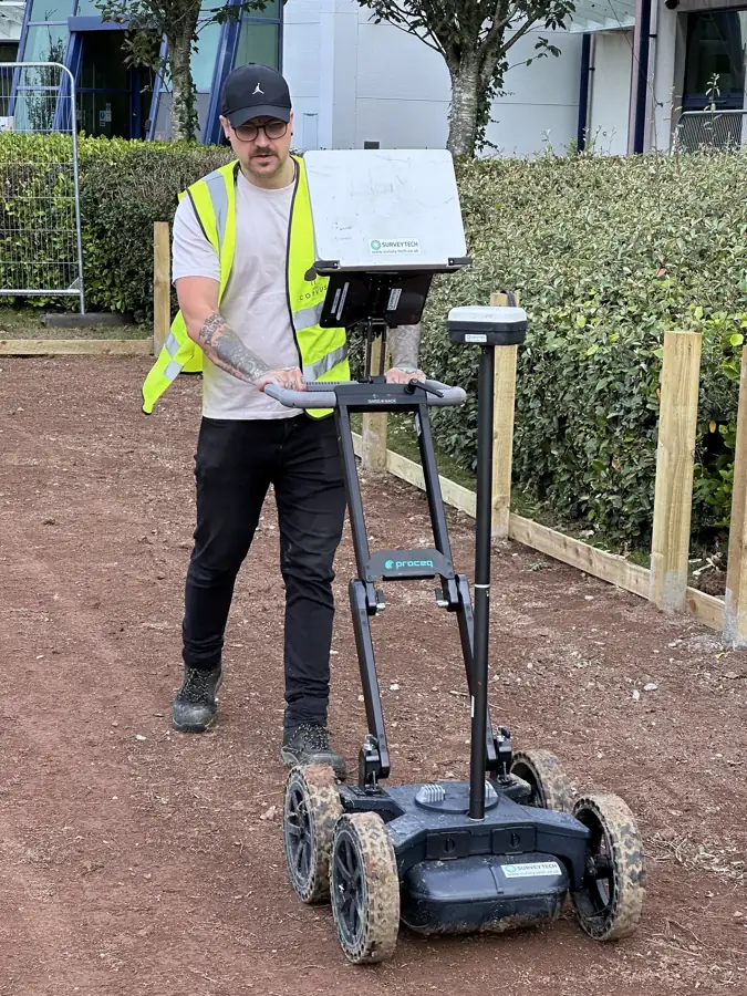
The locating device is where most sites stop. A CAT and Genny sweep finds energised cables and metal pipes that can be given a signal. HSG47 states plainly that a locator will not find every service. Plastic pipes and non-metallic drains may need a tracer, a sonde or another method. A dead or unloaded cable gives nothing in power mode but may still be traceable in radio mode or where a signal can be applied, and HSG47 treats a pot-ended cable as live. The guidance expects the operator to be trained, the sweep to be done over the whole area in more than one direction, and the positions to be marked on the ground.
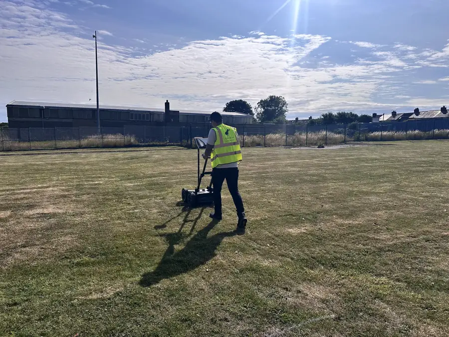
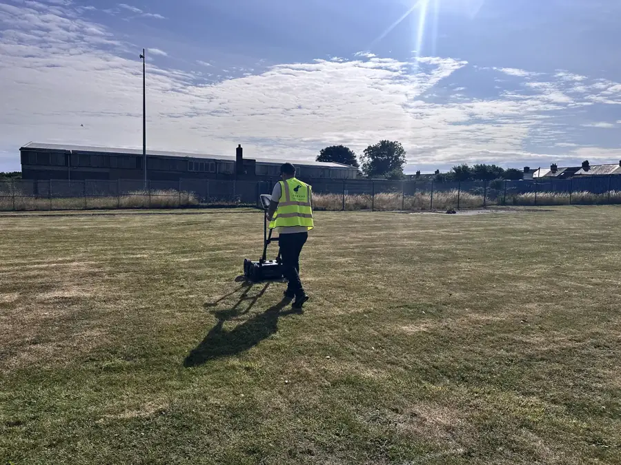
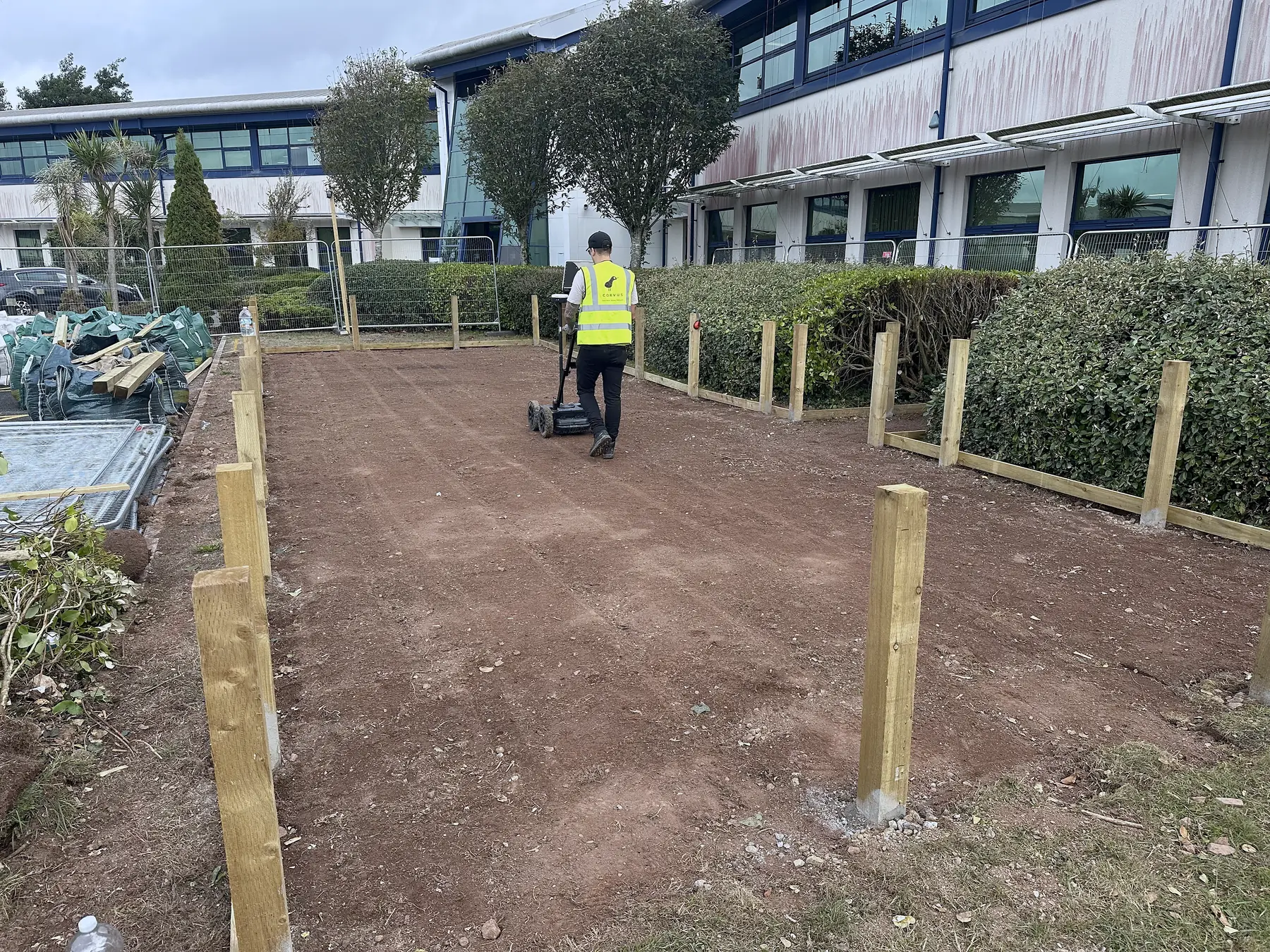
Where a utility survey fits: this is the detection survey. A PAS 128 Type B survey runs the electromagnetic sweep and a ground radar pass over the same area, so the plastic and the dead cables have a chance of being picked up too, and it records every detection with a quality level that says how much to trust it. The drawing is the locating evidence HSG47 asks for, written down rather than remembered.
Stage three: safe digging
The last stage is the one that happens with a spade in hand. HSG47’s safe digging practice can be summarised as:
- Treat every cable as live until the owner proves otherwise.
- Hand dig trial holes to confirm the position of each service before mechanical excavation.
- Respect the 500 mm precautions, which are specific. Paragraph 108 says hand-held power tools breaking a hard surface should be used 500 mm or more from the indicated line of a service where practicable. Paragraphs 150 and 160 say not to use a mechanical excavator within 500 mm of a gas pipe or a pipeline, and the owner may require more. None of this is a general licence to use machinery outside a 500 mm buffer.
- Dig alongside a service, not directly onto it, and use spades and shovels rather than picks, forks or pins near cables.
- Support exposed services and do not use them as steps or anchor points.
- Stop and reassess if anything unexpected is found.
Where a utility survey fits: the drawing tells the gang where to put the trial holes and where the hand-dig zones are. A line marked QL-B1 has been found by two methods that agree, so the trial hole confirms. A line marked QL-B3 or QL-B4 is a one-method or an assumed position, so the hand dig needs to be wider and more careful. Without quality levels, every line on the drawing looks equally reliable, and they are not.
What a utility survey has to show, in HSG47 terms
If you want to check whether a survey report meets the guidance rather than just mentioning it, look for these:
- The records that were obtained, and from whom.
- The detection methods used, over what area, and in which directions.
- The equipment and the operator’s qualification.
- Every detected service marked on a drawing with a position, a depth where one could be estimated, and a quality level.
- A plain statement of what the survey could not do: where the ground was unsuitable for radar, where services could not be energised, where the records disagreed with what was found.
- A recommendation for trial holes where the drawing is uncertain.
A report that says “site scanned, clear of services” fails on every count. A survey is evidence of what was detected and how. It is never a guarantee that nothing else is there, and HSG47 does not ask it to be.
What Corvus delivers
Our utility surveys are delivered to PAS 128:2022 with a Radiodetection RD8200, a Proceq GS8000 ground radar and GNSS RTK positions, by surveyors who hold the ProQual Level 3 Certificate in Utility Mapping and Surveying. The report states the method, the limits and the recommended trial holes, so the person signing the permit to dig has something to sign against.
Digging soon? See PAS 128 utility surveys or get a quote. Related reading: cable avoidance survey: what a CAT and Genny sweep finds and permit to dig: what it needs.